Cycling tour plans, mountain pass climbing by bike in 2025 in Morocco, Atlas mountains, Poland, Austria, Serbia, Czech Republic, Serbia
www.bigcycling.eu I completed the European 1000 passes/mountains challenge. This year I climbing on a list of national challenges in neighbouring countries.
Cyclists, cyclotourits can also join us for some days , on a section of the planned tour
2025
Morocco, Atlas mountains in spring , April-May
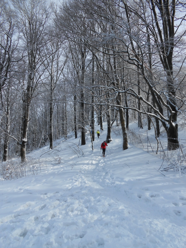
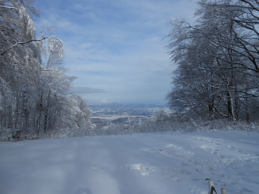
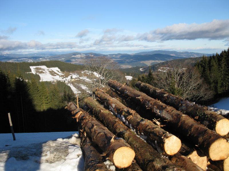
Czechia
Middle Czechia, near Prag
North Czechia ith some detour to Poland
Western Czechia with a detour to Oar Mountains in former East Germany
Pass climbing in Austria in areas close to Hungary
2024
Pass tour in Northern Romania, Transylvania11-12 days. It has been done!
Pass tour in Southern Romania, Transylvania and Northeastern Serbia 12-14 days . It has been done without Serbia!
Pass tour in Northern Romania, Transylvania11-12 days. It has been done!
Slovakia, Middle part+ High Tatra 4 days a www.bigcycling.eu oldalon. It has been done!
Pass climbig tour in North East Slovakia This tour was made from April 25th to May 4th It has been done!
Slovakia,Vah valley, Low Fatra on www.bigcycling.eu oldalon. It has been done!
Last five Natacha in Slovakiaa www.bigcycling.eu, 2-3 dayys tour, It has been done!!
but if we will also look at the queen stage of the Tour de Pologne 2024. on August 17th , then 4-5 days
1st passage ~15:00
2. passing through ~ 16:10. For Attila Valter did not take part in the Tour de Pologne, we did not go to see it.
Pass climbing cyclotour in Southwest Czechia near the German and Austrian border including even some climbs in Austria, complete text in English, this tour has been done !
Pass climbing cyclotour in Czechia along the motorway 2 to Berlin The tour was done in April 2024!
Tours already completed:
In 2023
Mountain passes, mountain tops still to climb in South France, Andorra, in Spain near Barcelona and on Mallorca ~ April 15-20. to May 20-25,
Azerbaijan scheduleJuly 1st to 8th, 2023
Mountain passes, mountain tops still to climb in the Pyrenees, in Spain und Portugal
~ June 1-6. to July 7-12
In Iceland
Mountain pass climbing tour on Iceland
uly 27-August 6
Cycling tour in South Portugal from Lisbon and possible extension to the Azores total 22-25 day late autumn or in winter ?
Only the Azores in September 2022 done!
On Madeira island 4 BIGs , near Lisbon 2 BIGs climbed between 15th and 24th January, 2022.
3 BIGs are still missing on Faial island and Sao Miguel island. According the weather statistics
in 2022 done!
Schottland-Irland-Nordirland 20-21 Tage Pässeklettern mit dem PKW im Sommer. Bestes Wetter in July 2022 done!
Ireland-North Ireland cycling tour 15-19 days in July 2022 done!
South of France - Barcelona - Malaga - Central Spain End of April- May 2022. / most of them done in May-June
Climbing mountain passes in France up to 26 passes South of Lyon mostly in the Pyrenees including some in Andorra and Spain. Best weather for me June-July? October and November
Some of them done in May-June 
Mallorca + Middle and North-West Spain from Middle of May to June
Climbing BIGs in North and West-Spain also in Portugal
Some of them done in May-June
Climbing passes in North of Scandinavia up to the Nordkapp in August.
Giro d Italia in Hungary!
First stage May 6th 2022 Budapest-Visegrád 195 km
2nd stage May 7th, in Budapest time trial from City park to Buda Castle
3rd stage, May 8th Kaposvár- Balatonfüred 201km
Link:http://www.tourdepologne.pl
Bicycle tour to the Tour de Pologne 05-09 August (Zakopane) 8th? August 2022 Bukowina Tatranska ( 2 laps 2x66km , if it will be organized that way)
In the Ligurian Alps along the Ligurian Sea 10-20 challenge B.I.G. destinations between
Nice (France) via Genova and La Spezia to North-Apennins,Ligurian Apennins. This tour has been done in September, 2021 
New route in South Italy autumn 2021. This tour has been done in October , 2021.
Ligurian Alps along the Ligurian Sea10-15 days tour . All of them have been done in September 2021
Cycling tour to the Don Bend near Voronezh where after 12th Jan, 1943. 120 000 Hungarian soldiers lost their life.
Climbing mountain passes in France up to 86 passes South of Lyon inluding 3 passes in Switzerland, small trips to Spain and Italy more than 20 passes have been done in the Alps and near Lyon
in Italy eg.to Vesuvius - Vesuvio 23 days This tour has been done in October, 2021
mountain passes in Switzerland This tour schedule has been carried out from June 24th to July 27th, 2021 including Nebelhorn in Germany.
Climbing mountain passes in North-East Italy Piemont, Lombardy, Valley of Aosta September,November 2020 most of them have been done!
Sardina by ferry from Civitavecchia near Roma)already done at the beginn of July
Bicycle tour in South-Spain from March 7th to 24th, 2020 from Málaga From March 7th to 17th ten days has been done.
Because of COVID-19 I had to return a week earlier.
There are still over 100 passes, mountains to climb!
Greece 14-24 days tour already done November in 2019!!
Cycling on the Canary Islands January 14th to Feb. 2. 2019.it has been done!!
Tour to visit the 102nd Giro d Italia on Mortirolo (Scarponi climb!) done in2019!.
Cycling tour in the Pyrenees and Basque country Between 7th and 18th May 2018. has done!!
Cycling in North-France and North of Switzerland This tour has been done. First part in June.
Second part in July to August 1st 2018.
Kosovo together with Bulgaria. Done in June 2019!.
Bicycle tour to the Tour de France 2017 cycling up to 12-20 passes,challenge B.I.G. destinations: Cime de la Bonette,Mont Ventoux,Alpe d'Huez...).It has been done in July 2017.
North Cyprus three mountains (BIGs) ~ 300 km between 11. and 16. January 2018. already done!
Malta between 20th and 26th January 2018. already done!
Slovenia-Croatia 3 days from June 30th to July 2nd,2017 has been done!
South France-Nice-Montpellier Tour has been done!
Portugal-Porto- with short visit in Spain.Tour has been done!
Cycling tour in Sicily between November 15-29. with a short visit on the "Italian boot" this tour has been done!!
Cycling in Cyprus 7 days this tour has been done in April 2016!!
climb the chalenge B.I.G. mountains , passes in Luxemburg, Belgium, Netherlands in the footsteps of the cycling classics : Tour of Flanders,Amstel Race,La Flèche Wallonne , Liège–Bastogne–Liège.In 19 days with a short detour to France,Germany and Czechia I climbed over 60 "montains" in May 2016.this tour has been done!!
Cycling tour in Corsica 7-8 days on the island. I cycled the tour in October 2016.this tour has been done!!
Who is going to join me ?
Norway-Denmark-Sweden mountain passes climbing tour in August 2015 has been done!
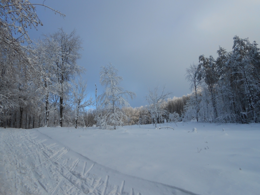
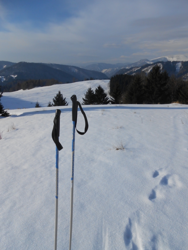
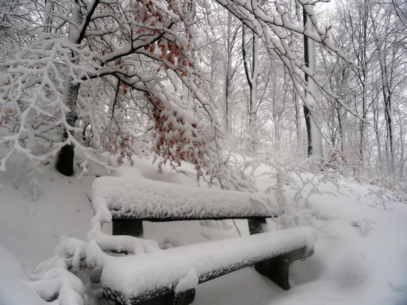
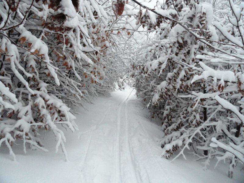
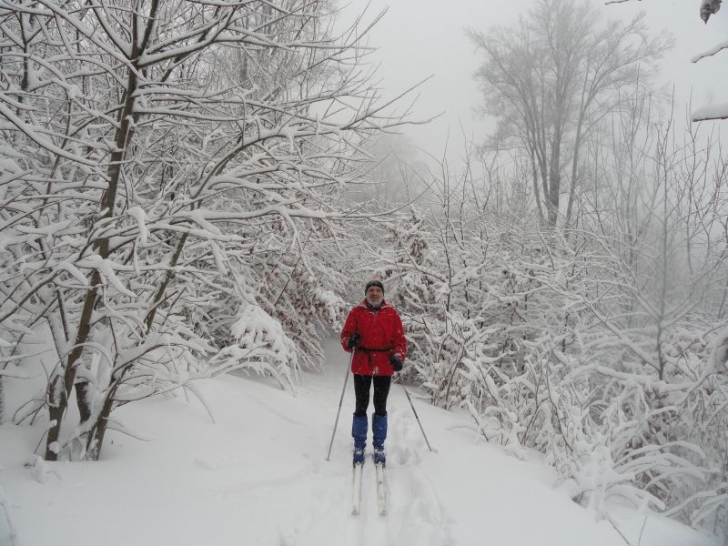
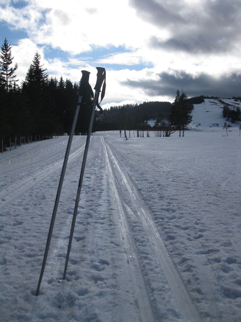
Cross country skiing
in Galyatető January 2015
  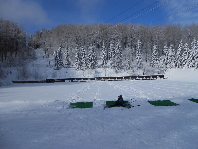 
Jan 16-18, 2015 in Donovaly(SK)
I am looking for mates to 1-4 day cross cuntry skiing
 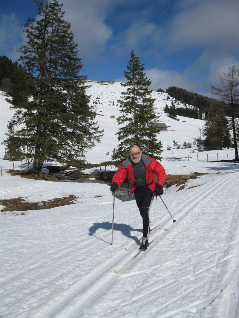  
Winter pictures in Mátra mountains 2013
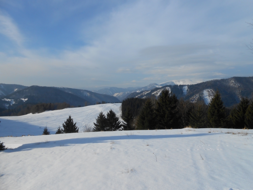
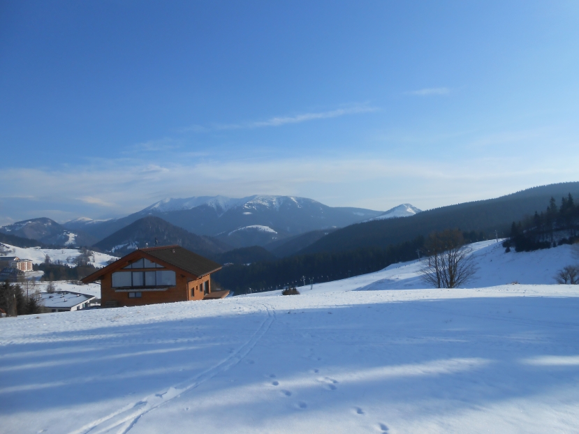
Austria
Teichalm, Sommeralm
Snow report about cross country trails on Teichalm.
St. Jakob im Walde 1200 m
35 more cross country ski trails in Austri
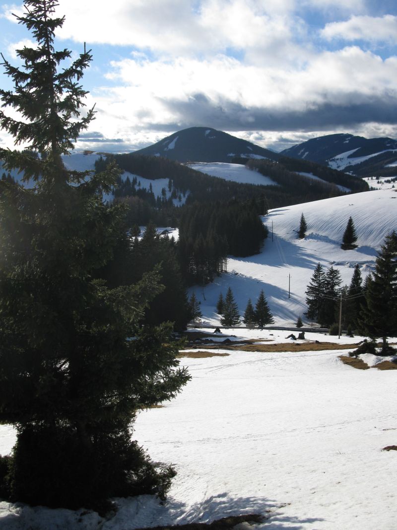
Erdély,
Maradaras in Hargita (RO)
1-4 day
tours on cross country skiers in 2014,( photos).,I am looking for
tour mates
Wo is going to join me even for one day ?
f.e.. Sopron "Iron curtain " tracks,
Slovakia, Donovaly ( already tested by me , well treated tracks, lovely
trails).
Austria
Teichalm, Sommeralm
St. Jakob im Walde 1200 m sea level ( only 105 km from
Kópháza , from the Hungarian border)
Further35
cross country ski tracks in Austria
Romania ,
Transylvania,
Maradarasi Hargita the most locals speak Hungarian
Who is feeling like joining me even for some days ?
I am interested in anything similiar, if I can get holiday and it will
be not raining all day.
The most beautiful is certainly South Tyrolia,
Austria,Switzerland,
Germany, Luxemburg not by last because of the road quality.
About myself:
I make along with luggage at most 20 km/h averagely, daily 80-100-150-200
km, at least ten years ago I could at the age of 63.
Climbing passes I climb 450-500 m level difference in the
first hour, later less.
In the age of 74 I became slower, but the distance I can still
manage, just slower.
If we are more cyclist together I can be certainly faster.
During a tour all language problems I can solve in German in English.
However I speak a bit Polish,Romanian, Russian, Italian,too.
Contact
for bike
tours, bicycle tour ideas f.e. Alps, bicycle tour in Germany,South-Italy, Luxembourg, Greece
etc.
Viršič hágón with
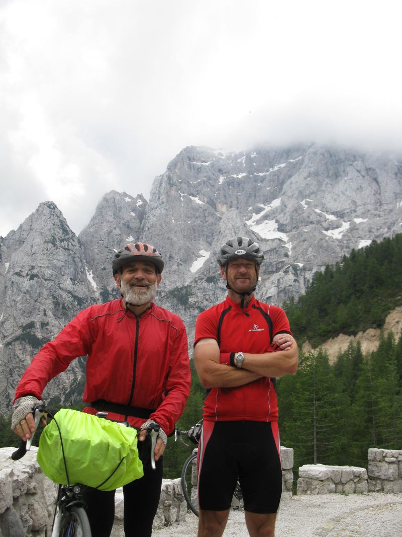
Ágoston Laci 2011
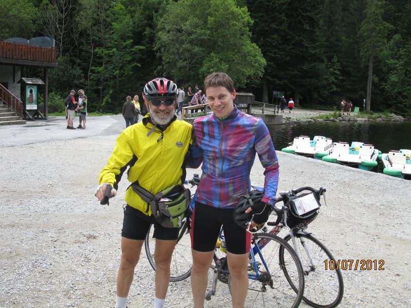
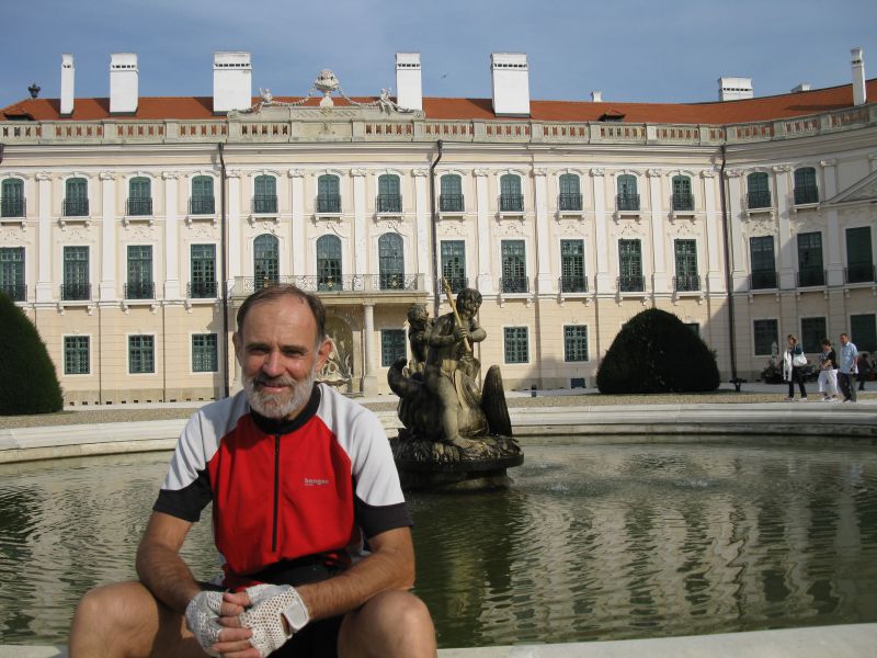
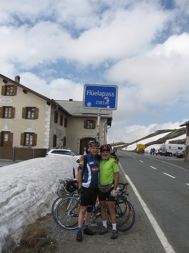
with Tilistyák Gergő on Arber (D) 2012 Fertőd,2009 , On Flüela Pass (CH) with Kiss Gyuri
My page on challenge B.I.G :http://www.challenge-big.eu/en/user/2734
back home
|
